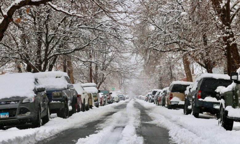
Denver weather: Thanksgiving travel may be disrupted by two rounds of snow

DENVER (KDVR) — A weak storm system is expected to move through Colorado on Sunday afternoon into Monday morning, but a stronger front is expected on Tuesday afternoon which will likely impact the record-breaking Thanksgiving travel crowds expected by land and air.
According to the FOX31 Pinpoint Weather team, the best chance of snow in the first storm will be in the mountains, with light accumulations maxing out at about 6 inches, with less than 2 inches of snow possible in lower elevations.
However, this could make mountain passages slick overnight Sunday into Monday. It could also spell slick roads in the urban corridor on Monday morning, the National Weather Service Boulder advised Coloradans. Pinpoint Weather, Colorado’s Most Accurate Forecast, is tracking accumulating snowfall on Sunday.
Currently, the highest accumulations appear to be near Eagle, Aspen and Dillon. Some areas of the mountains could see 3 to 5 inches, but others could potentially see even higher accumulating amounts.
Pinpoint Weather is forecasting light snow will begin to fall east of the mountains overnight Sunday into Monday, with up to 2 inches of snow possible west of Interstate 25 and in the foothills. The National Weather Service in Boulder agency has issued a winter weather advisor for portions of Jackson and Grand counties above 9,000 feet, including Rabbit Ears Pass. Snow accumulations could reach up to 7 inches, the agency noted.
The heavier-impact weather front is expected to reach Colorado Tuesday afternoon. Weather models are increasingly predicting heavy mountain snow beginning late Tuesday morning through Wednesday night. The Pinpoint Weather team also said that precipitation probabilities for lower elevations increased on Saturday for Wednesday’s precipitation to 60%, now favoring snow over rain. However, any timing for when rain could turn to snow is still up in the air.
Currently, it’s too early to know for sure what kind of snow totals Colorado could see overnight Tuesday into Wednesday. However, meteorologists seem to agree that mountain travel will be difficult from Tuesday through Wednesday. NWS Boulder anticipates “significant snowfall” in the higher elevations from Monday night through Thanksgiving morning.
“Widespread travel impacts can be expected for all mountain routes,” the NWS Boulder warned in its hazardous weather outlook on Saturday. “This second system will also bring greater potential for lower elevation snow late Tuesday into Wednesday, with roads likely becoming slippery Wednesday and Wednesday night.”
Mountain roads will likely become snow-covered and the impacts could spread into the urban corridor along Interstate 25. If you’re heading west from Denver on Wednesday, check CoTrip.org for road conditions, or check FOX31’s Pinpoint Weather forecast here.
While it’s too early to know how much snow Denver and other areas of Colorado could total, one thing is clear: Temperatures will be much colder starting Wednesday and lasting through Thanksgiving. So if you’re headed somewhere warmer for Thanksgiving, be sure to pack a parka for your return.


