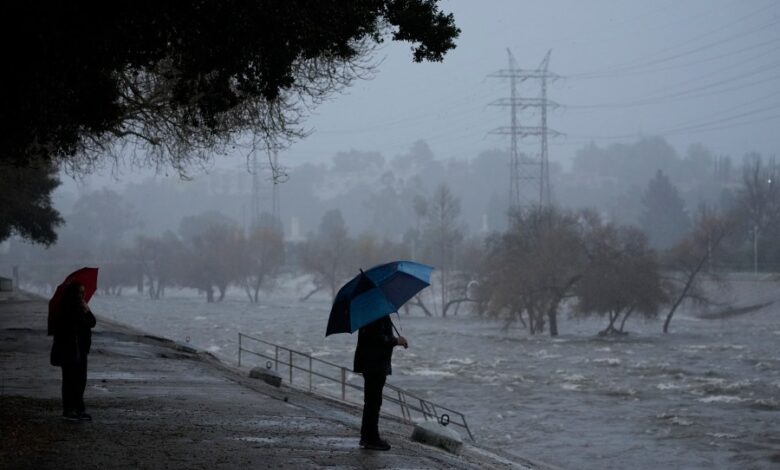
Will La Niña bring more rain to Southern California?

California’s rainy season is already underway, but an incoming La Niña may shake things up.
La Niña is favored to form between now and December and stick around through early 2025, the Climate Prediction Center says. As La Niña moves closer toward its peak strength in winter, its influence over weather patterns grows stronger.
The phenomenon usually splits the country into two, bringing a dry winter to the southern half and a wetter winter to the northern half. The tricky part is we don’t know exactly where that dividing line will fall.
Sometimes La Niña also divides California in two, bringing mixed results: lots of rain to Northern California and drought to Southern California. But in recent La Niña years, the dividing line has been further north, bringing buckets of rain and snow to Oregon and Washington, but devastating drought conditions to almost all of the Golden State.
Where that line will fall remains to be seen, but there’s reason to believe we could see more rain – not less – in California, according to Nexstar chief meteorologist Brian James.
“Usually, the northern half of the state will have a better chance to benefit from a La Niña pattern than the central southern part of the state. However, it’s a weak La Niña,” he pointed out. That would make it more likely that the jet stream is pulled farther south down into California, and the wall that keeps cold air out is fluid and weaker.
“That would also mean it’s more likely for some of that moisture to get pulled farther down the state so it doesn’t just give the northern half of the state the benefits,” James explained. “It may very well impact and be beneficial to more of the state.”
As long as the rain doesn’t come down too hard and too fast, a wet winter is usually a good thing for California. The state gets the vast majority of its precipitation during the winter months.
“There’s very few situations in California when rain isn’t welcome,” James said.
Weak La Niña winters may also be better for California’s snowpack, recent analysis by NOAA meteorologist Tom Di Liberto found. A review of weather data since 1959 found California’s mountain ranges saw more snowfall during weak La Niña years when compared to all La Niñas.
This season’s drought outlook is also looking good for much of the state. Only the far southern desert areas along the California-Arizona border were listed as an area of serious concern.
But trends are never guarantees, and there are plenty of other forces at play here other than La Niña. Climate change, for example, is causing widespread decline in the amount of snow over most of the U.S. A freak snowstorm can also always pop up and defy the odds.


